How Much Of The Ocean Has Been Explored – Mapping Progress
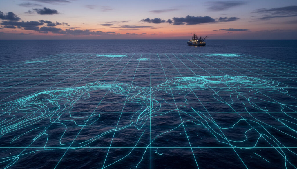
Vast stretches of Earth’s oceans remain a mystery, despite decades of concerted effort by scientists and international organizations. Thanks to new mapping technologies and global collaboration, the fraction of the ocean floor surveyed to modern standards has grown, yet the scale of the unexplored remains striking.
From coastal waters to the deepest trenches, the quest to document the ocean’s limits has become more urgent, informing climate science, resource management, and biodiversity efforts. Progress has accelerated in recent years, but much of the planet’s underwater landscape is still shrouded in darkness.
For more details on the mysteries of our oceans, visit https://dailyperspective.co.uk.
How much of the ocean have we actually explored?
| Aspect | Summary |
|---|---|
| Exploration Extent | 26.1% of the ocean floor mapped using modern techniques; remainder largely uncharted |
| Technological Innovations | Widespread adoption of ROVs, AI analytics, low-cost sensors, and autonomous vehicles |
| Key Challenges | High costs, extreme depths, and technical limitations still restrict access |
| Future Directions | Ambitious global projects, open data sharing, and new expeditions planned through 2030 |
- Roughly 74% of the ocean floor is still unmapped to modern standards (data as of 2026).
- Recent mapping expanded sharply since the launch of Seabed 2030 in 2017.
- Technological limitations, especially below 200 meters, present major obstacles.
- The Southwest Atlantic and Mid-Atlantic seamounts are current focal points for discovery.
- Advancements in satellite gravity, autonomous robots, and video analytics drive progress.
- Most nations still lack the deep-sea research infrastructure needed for extensive surveys.
| Snapshot Fact | Value/Status |
|---|---|
| Estimated percentage of ocean explored | Approximately 20% |
| Ocean floor mapped with modern detail | 26.1% globally (as of 2026) |
| Known ocean floor maps accuracy | Up to 50% for shallow coastal zones |
| Deep ocean challenges | Extreme pressures, no sunlight, limited access |
| Seabed 2030 goal | Complete ocean mapping by 2030 |
| New deep-sea species discoveries (2026) | 28 new species in South Atlantic |
| Regions prioritized for current research | Southwest Atlantic, Mid-Atlantic Ridge, Trinidad and Tobago waters |
What challenges limit deep ocean exploration?
Barriers to mapping the deep sea
Extreme depth presents logistical hurdles. More than 93% of the world’s ocean volume lies below 200 meters, a region beyond the limits of most research equipment and vessels. Undersea pressure increases drastically, complicating instrument deployment and maintenance.
Gaps in global capacity and infrastructure
Despite recent progress, most countries do not possess the needed tools, trained personnel, or infrastructure to conduct extensive deep-sea research. This disparity hinders collective progress and creates significant gaps between higher- and lower-income nations.
Data analysis and technological limitations
Efforts to explore and map rely on vast volumes of data. Decades’ worth of video and instrument readings remain partially analyzed, as manual review is impractical. Artificial intelligence is now being introduced to accelerate video analysis and close knowledge gaps.
Global projects like Seabed 2030 emphasize sustained international cooperation and open sharing of data to meet ambitious mapping deadlines, underscoring the need for shared technology and knowledge.
How is technology transforming ocean exploration?
Innovations increasing mapping efficiency
Modern technologies have accelerated the mapping of the seafloor. Multibeam sonar aboard research vessels estimates depth with high resolution. Autonomous underwater vehicles (AUVs), robotic floats, and remotely operated vehicles (ROVs) can now operate deeper and longer than ever before.
Cutting-edge tools and new methodologies
Satellite gravity missions detect subtle seafloor features by measuring minute variations in gravity. EarthScope-Oceans’ Mermaid robots, originally built for earthquake detection, have been repurposed to gather underwater pressure-wave data, revealing bathymetric features at depths of up to 1.5 kilometers.
Projects led by the Ocean Discovery League focus on democratizing access to ocean data through affordable sensors and automated video review technologies, allowing regions with limited resources to participate in deep-sea discovery.
Advancements in in-situ and imaging platforms
In-situ technologies collect biological, chemical, and physical samples across uncharted seafloor habitats. Camera-sensor packages like DORIS, DeepPIV, and EyeRIS provide minimally invasive ways to examine elusive marine life and ecosystems without damaging the environment.
Expeditions and ongoing projects
Major expeditions by organizations like the Schmidt Ocean Institute employ a suite of advanced tools, including gliders and CTD rosette casts, to investigate regions such as the Southwest Atlantic and deep-sea seamounts. This work has already led to the documentation of dozens of new species and improved understanding of midwater ecosystems.
Vast quantities of previously recorded footage and sensor data await detailed analysis. AI-powered solutions are increasingly employed to handle the scale and complexity of these datasets, but manual review still plays a role in many research programs.
How has ocean mapping evolved over time?
Ocean mapping began centuries ago with manual soundings and nautical charting, a far cry from today’s high-precision, remote sensing methods. Ship-based multibeam sonar represented a major leap, enabling scientists to generate detailed bathymetric charts. The introduction of autonomous platforms, advanced imaging, and satellite measurements has pushed mapping into previously inaccessible zones. However, indirect measurement remains common in the deepest areas, and data from global expeditions is only now being systematically processed and shared.
Key milestones in the timeline of ocean exploration
-
Seabed 2030 project launch (2017) – Initiated with 6% of the seabed mapped and a target of full coverage by 2030.
[source] -
Mermaid robots deployment (2018–present) – South Pacific fleet begins using earthquake wave data for seafloor analysis.
[source] -
Schmidt Ocean Institute midwater tech refinement (2019–2021) – Advanced imaging and sampling tools undergo trials.
[source] -
Baseline global capacity assessment (2022) – Ocean Discovery League documents worldwide capabilities for deep-sea study.
[source] -
Current mapping status (~2026) – 26.1% of the seafloor mapped to current standards, with new species discovered.
[source] -
Next-phase expeditions (2026) – Schmidt Ocean Institute launches focused biodiversity surveys in underexplored Atlantic regions.
[source] -
Full mapping target (2030) – Global campaign aims for a complete, detailed map of the world’s ocean floor.
[source]
Certainty and unknowns in ocean floor mapping
| What is established | Unclear or under research |
|---|---|
| 26.1% of the seafloor is mapped with modern methods | The exact biodiversity and geology of most unmapped areas remain unresolved |
| Technology enables accurate mapping in shallow and mid-depth regions | Deep sea (<200m) environments still resist direct observation due to pressure and remoteness |
| International cooperation and data sharing facilitate rapid progress | The true rate of undiscovered species and ecosystem dynamics is unknown |
| Seabed 2030 coordinates worldwide mapping towards a 2030 goal | Indirect mapping (e.g., gravity anomalies) may miss smaller features |
Why mapping the ocean matters in a global context
Comprehensive exploration of the ocean floor is critical for understanding climate patterns, tracing carbon storage, and protecting biodiversity. Improved maps inform hazard assessment, fisheries management, and conservation strategies. Underexplored marine territories also carry geopolitical implications, as claims to resources or responsibilities expand with technological reach.
As capabilities grow, open data and more inclusive approaches are seen as key to ensuring all regions can benefit from—and contribute to—marine discovery. Learn more about related efforts at https://dailyperspective.co.uk.
Sources, expert accounts, and scientific records
“Despite progress in mapping ocean floors, the vast majority of the seafloor remains unseen by human eyes. Our best hope is continued international collaboration, open data, and technological innovation.” Дізнайтеся більше про те, що їдять полярні ведмеді, за цим посиланням: що їдять білі ведмеді.
NOAA – Ocean Exploration Program
“Projects such as Seabed 2030 and new AI-driven data analysis tools are transforming what we know about the undersea world. Still, full mapping remains an ambitious challenge.”
UNESCO – Ocean Science Division
What lies ahead for ocean exploration efforts?
Global projects are set to expand deep-sea mapping, drive biodiversity research, and close discovery gaps through the integration of AI, low-cost sensors, and autonomous vehicles. Achieving a complete ocean floor map by 2030 will depend on the success of these initiatives and continued advancements. For more in-depth research, see the following research.
Frequently Asked Questions
What percentage of the ocean remains unexplored?
Approximately 74% of the ocean floor is still unmapped to modern scientific standards, representing the largest unexplored territory on Earth.
How do researchers measure and map the ocean floor?
They use technologies like multibeam sonar, autonomous underwater vehicles, satellite gravity measurements, and AI-assisted data review to create detailed seafloor maps.
Why is deep sea exploration more challenging than land exploration?
Extreme pressure, darkness, and logistical hurdles hinder direct observation and instrument deployment, making exploration of deep marine environments far more complex than terrestrial surveys.
What role do new technologies play in advancing ocean mapping?
Modern tools such as AI data analysis, autonomous robots, advanced imaging platforms, and satellite measurements have increased mapping speed and detail.
How frequently is new data about the ocean being published?
Marine science institutions continuously publish new findings as part of global mapping initiatives, with regular updates spurred by major expeditions and project milestones.
More related posts
 E-on Next – Sustainable Energy Management For Savings
 RB Leipzig vs Bayern: H2H Stats, Results & Facts
 Best Dog Food Uk – Trusted Pet Nutrition Tips
 Maxi Dress for Women: Wedding, Summer, Sleeves Guide
 Matty Healy: Relationship Timeline, Sobriety, and Key Facts
 Weather in Manchester Today: 19°C Sunny, Max 22°C Amid Storm Amy
 Marry Me Chicken Recipe – Easy Creamy One-Pan Dinner