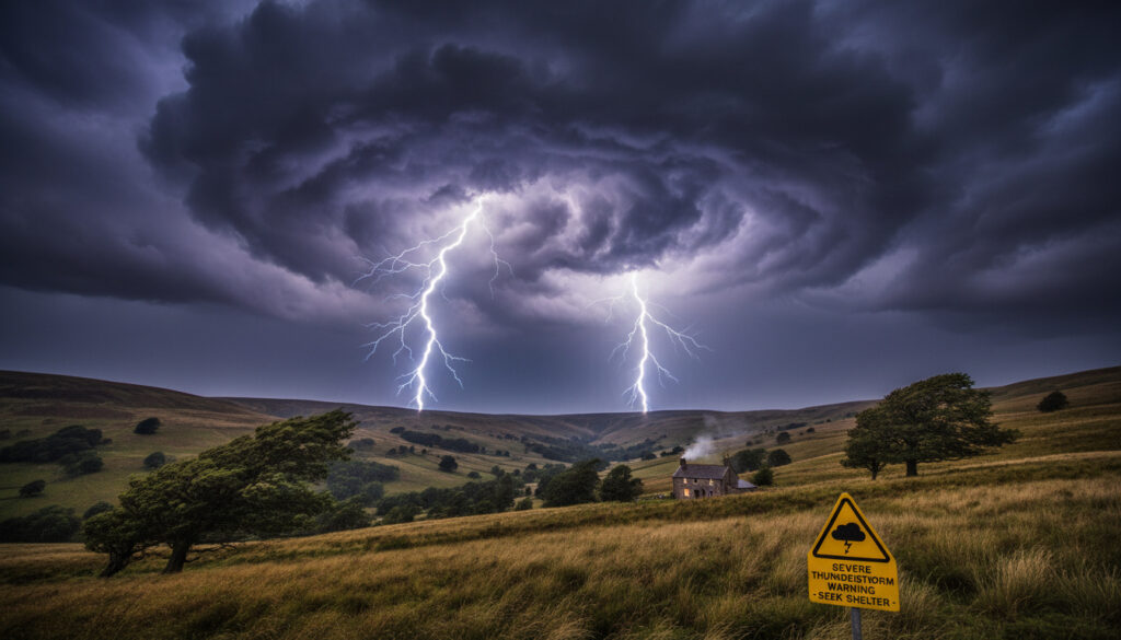
UK Thunderstorms Weather Warning – Stay Informed And Safe
UK thunderstorms weather warnings play a critical role in alerting the public to severe conditions that can threaten safety and disrupt daily life. Understanding these warnings, how they are issued, and where to find updates ensures that individuals and communities stay informed and prepared.
While no active Met Office warnings specifically for thunderstorms are in place as of late February 2026, unsettled weather with heavy rain, strong winds, and sporadic thunder remains a concern. Recent storms and evolving atmospheric patterns underline the importance of knowing how warnings work, what triggers them, and what actions to take.
The following guide answers the most pressing questions on the topic, provides a timeline of developments, and delivers actionable information to help the public navigate periods of risk with confidence.
What Does a UK Thunderstorms Weather Warning Mean?
Thunderstorms
UK Met Office / Local Authorities
Specified timeframe in warning
Precautions to protect yourself & property
- Thunderstorm warnings alert the public to expected conditions including heavy rain, lightning, hail, and strong winds.
- The UK Met Office evaluates forecasts based on standard criteria including intensity, risk to life, property damage, and disruption.
- Warnings are color-coded (yellow, amber, red) to indicate severity and urgency.
- Continuous advances in meteorology have made warnings more targeted and timely.
- Recent years show an increase in frequency and complexity of thunderstorm patterns, partly linked to climate dynamics.
- Public safety relies on timely compliance with official advice during warnings.
- Warning systems are regularly reviewed for effectiveness in light of severe storm events.
| Fact | Details |
|---|---|
| Current Warning Status | No active warnings for thunderstorms as of late February 2026 |
| Issuing Authority | UK Met Office, local authorities |
| Last Update Time | Feb 26, 2026 (See latest on Met Office forecast) |
| Affected Regions | Unsettled weather with thunder risk, especially western and northern UK |
| Recommended Actions | Monitor updates, take standard weather precautions |
| Prediction Accuracy | Improved via radar and modeling, but storm development retains some uncertainty |
When and Where Are UK Thunderstorms Expected?
Current Met Office outlooks for late February into March 2026 do not include named thunderstorm events, but emphasize periods of heavy rain, strong winds, and occasional thunder in showers. Thunder risk is mainly associated with frontal systems moving west to east, affecting areas such as western Wales, southwest and northwest England, Scotland, and Northern Ireland.
- End of February: Rain bands bring heavy showers, especially to high ground in Wales, England, and southwest Scotland (20-100mm in places).
- Saturated soils increase surface water and flooding risks in affected areas.
- Short bursts of hail and thunder possible in western Scotland and Northern Ireland, especially in blustery showers.
- No persistent or widespread thunderstorms forecast, but isolated thunder risk remains until meteorological spring in early March.
- Storm Chandra (Jan 26-27, 2026) most recently brought thunder to parts of the southwest.
| Region | Risk Factors | Remarks |
|---|---|---|
| Southwest England/Wales | Heavy rain, flooding potential | Monitor rivers, avoid low-lying areas |
| Northwest England/Scotland | 100mm rain, gusty winds, hail/thunder in showers | Travel caution, snow possible on high ground |
| Northern Ireland | Strong winds, risk of thunder bursts | Secure property, heed amber warnings |
| Southeast | Milder, occasional rain bands | Surface water on roads, thunder less likely |
Thunder chances often accompany fast-moving frontal systems or convective showers, but the scale and impact of events can change rapidly based on jet stream shifts and regional conditions. Direct consultation of Met Office resources is recommended for the latest status.
How frequently are thunderstorm warnings issued?
Thunderstorm warnings are issued sporadically in the UK, generally more often from late spring through early autumn. However, periods of unsettled winter weather can also bring thunder risks, as seen with Storm Chandra. There may be weeks or months between such warnings, depending on broader weather patterns.
How Can I Stay Safe During UK Thunderstorms?
Safety during thunderstorms requires situational awareness and quick action. During periods of risk, the Met Office recommends avoiding exposed areas, securing property, and monitoring official alerts for evolving hazards such as flooding, fallen trees, or power outages.
- Avoid all travel during severe thunder, heavy rain, or wind unless essential.
- Secure outdoor possessions to prevent wind damage.
- Stay indoors and away from windows during lightning and hail.
- Prepare emergency kits, including water, food, and a torch, in case of outages.
- Follow local flood or hazard alerts and move to higher ground if necessary.
- Monitor Met Office and local council apps for real-time advice.
Persistent rain has led to saturated ground across much of the UK. Even moderate downpours may cause localized flooding or travel delays. Remain vigilant, especially near rivers and low-lying land.
What precautions should be taken if a warning is issued?
If a thunderstorm warning is in place, actions include seeking shelter, staying away from tall objects or bodies of water, unplugging electrical devices, and delaying travel until the risk subsides.
How Are UK Weather Warnings Issued and Updated?
The UK Met Office is the primary authority issuing thunderstorm weather warnings, sometimes supported by local councils and emergency services. Warnings are based on forecast models, radar data, and hazard assessments, and are disseminated via the Met Office website, apps, and media channels.
- Initial weather models highlight potential storm triggers based on observed and predicted atmospheric conditions.
- Met Office forecasters assess severity, coverage, and timing, then issue warnings if risk thresholds are crossed.
- Updates follow as new data emerges, with warning levels and affected areas revised accordingly.
- Warnings are prominently displayed on the Met Office official site, national media, and local authority websites.
- The Storm Centre page records recent and ongoing named storms for public reference.
For the latest, consult Met Office warnings, the official government bulletins, and reputable sources like BBC Weather for up-to-date information during severe events.
Understanding the warning process helps users judge when to take action, and where to find reliable updates. For related background, see our research section.
Which agencies issue the warnings?
The Met Office leads national weather warning issuance, working with the Environment Agency and local resilience forums to address regional impacts and promote coordinated safety advice.
What Is the Timeline for Expected Thunderstorms in the UK?
- Initial forecast models identify thunder risk: Forecasters detect unstable atmospheric conditions and monitor approaching fronts (Source: Met Office).
- Potential warning flagged internally: Internal review determines if risk criteria for thunderstorms are likely to be met.
- Warning issued publicly if thresholds exceeded: Levels (yellow/amber/red) applied based on expected severity and impact.
- Regions and timeframes defined: Warning maps and details specify areas and periods of risk (Source: BBC Weather).
- Ongoing monitoring and updates: New data may prompt escalations or reductions in warning status.
- Storm impacts monitored by authorities: Advisory updates and urgent alerts disseminated during event (Source: UK Government guidance).
- Debrief and public advice post-event: Guidance for safety, insurance, and cleanup follows severe thunderstorms.
What is Certain and What Remains Unclear About UK Thunderstorm Warnings?
| Established Information | Areas Still Uncertain |
|---|---|
| Criteria for warning issuance are based on measurable meteorological risks and impact. | Exact thunderstorm locations and peak times can remain unpredictable until hours before an event. |
| Warnings are updated as new data and observations emerge. | Storm severity and duration sometimes shift unexpectedly with changing jet stream behavior. |
| Official updates are primarily via the Met Office and government channels. | Regional impacts may evolve during ongoing storm systems. |
| Recent patterns show above-average rainfall and increased storm frequency. | Linkages to long-term climatic shifts continue to be assessed. |
How Do Recent Patterns and Climate Factors Shape UK Thunderstorm Warnings?
Thunderstorm warnings are increasingly influenced by broader shifts in UK weather. This winter has seen prolonged wet periods due to blocked weather patterns and the enhanced strength of the Atlantic jet stream. These factors drive Atlantic storms and often trigger short-lived thunder and hail episodes, as with Storm Chandra in January 2026. Meteorologists note winter rainfall to February 25 was about nine percent above normal, amplifying flood risks and emphasizing the utility of the warning system.
Climate change research indicates that moist, unstable air masses and more vigorous jet stream events are likely to cause further increases in severe weather variability. These evolving dynamics mean warning processes and safety advice must also adapt as patterns change.
Who Provides Official Information on Thunderstorm Warnings?
“The Met Office evaluates a range of meteorological data, issuing weather warnings when there is a significant risk to people, property, or travel. Warnings are updated as new information becomes available.” – UK Met Office, official blog
“Amber wind warnings were in effect in parts of Northern Ireland during Storm Chandra, while surface water flooding was monitored by local authorities across affected regions.” – Storm coverage, Met Office video update
What Should You Remember About UK Thunderstorms Weather Warnings?
Although no specific Met Office thunderstorm warnings are active at present, unsettled weather with the threat of thunder continues in the UK. Stay informed using official sources during periods of warning, adopt sensible precautions, and visit our research section for additional updates on severe weather trends and safety principles. For further insights, consider exploring Daily Perspective.
Frequently Asked Questions
What exactly is a UK thunderstorms weather warning?
A thunderstorm weather warning is an alert issued when atmospheric conditions suggest thunderstorms are likely, with risks including lightning, heavy rain, hail, and gusty winds, potentially causing disruption or hazards.
How often are these warnings updated?
Warnings are typically updated in real time as new data emerges, sometimes several times daily during active weather periods. Updates are provided through Met Office platforms and media outlets.
What should I do immediately upon receiving a warning?
Seek secure shelter, avoid unnecessary travel, disconnect electrical devices, and monitor official updates until the warning is lifted.
Are thunderstorms typical for my area in the UK?
Thunderstorm frequency varies regionally; they are most common in late spring and summer or in western and northern regions during active Atlantic fronts.
Where can I report weather-related issues?
For emergencies, contact 999. For non-urgent issues such as local flooding, inform your council or report via designated government webforms.
More related posts
 Yasmine Al-Bustami: Age, Ethnicity, Husband, The Chosen
 Admiral Pet Insurance Login: Access Your Account
 E-on Next – Sustainable Energy Management For Savings
 Who Is The New Pope 2025 – New Leadership, Global Vision
 OVO Energy Phone Number – Accurate Contact Details
 Symptoms of Long COVID – What to Know in 2025
 Golf Clothes for Men: Brands, Dress Codes & What to Wear
 Alex James: Blur Bassist, Cheese Farmer & Net Worth 2024